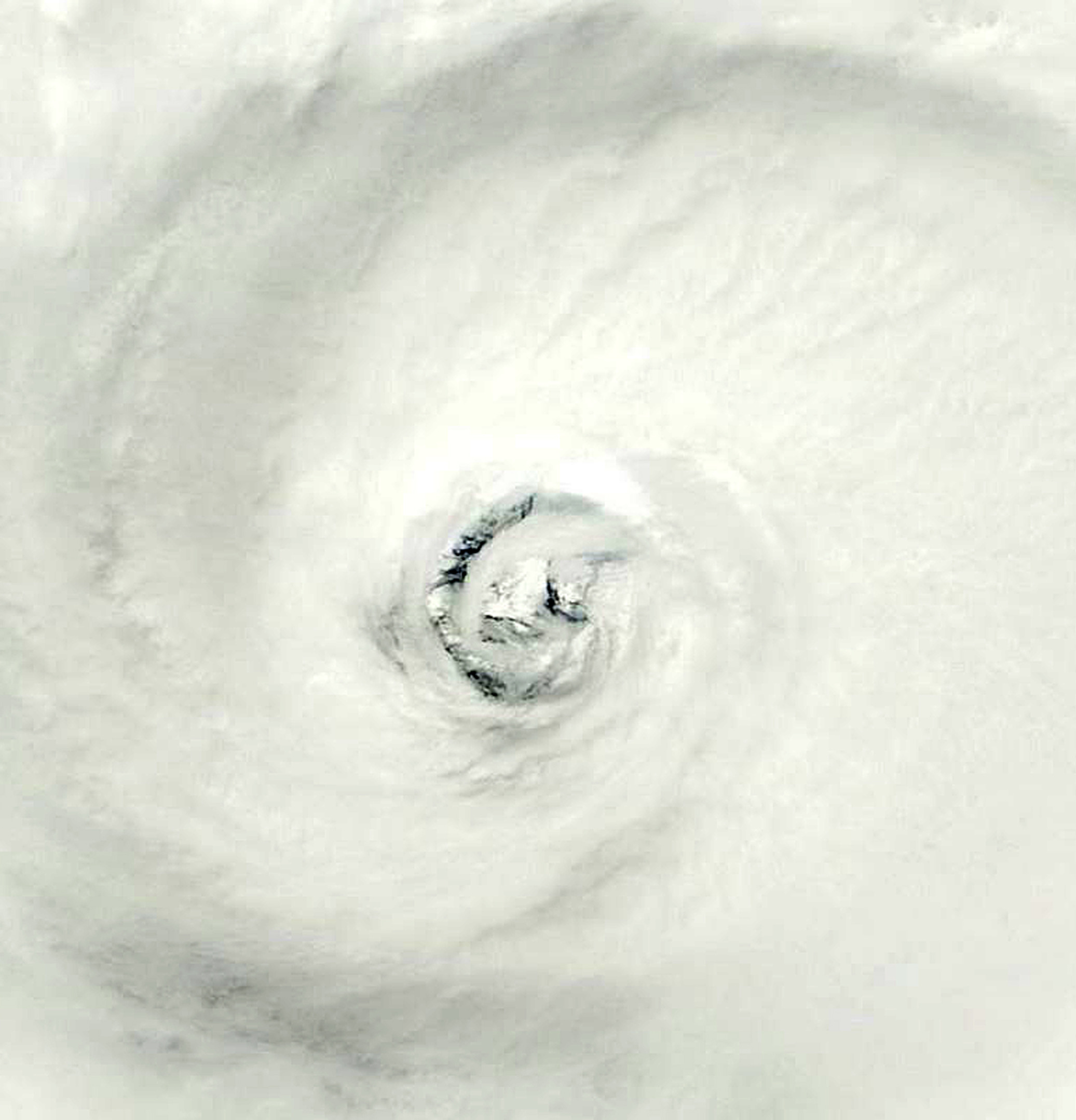
Powerful Typhoon Vongfong continues its churn towards Japan
Powerful Typhoon Vongfong churned towards Japan on Saturday, pounding the southern Okinawan islands with ferocious winds and driving rain. The monster storm was about 200 kilometres southeast of Naha City in Japan’s southernmost area of Okinawa at 0300 GMT, according to the nation’s meteorological agency. The Joint Typhoon Warning Center has downgraded the storm from a super typhoon, but Japanese officials said it remained “large and very strong” and warned of gusts, high waves, torrential rain and landslides. Packing gusts of up to 234 kilometres per hour, the typhoon was moving north very slowly, at 10 kilometres per hour. Vongfong is expected to reach near Japan’s southern main island of Kyushu by early Monday after brushing off Okinawa. It may then slam into the archipelago, the meteorological agency said.
There is no question that it is an extremely large, extremely powerful typhoon. It’s the strongest storm we’ve had this year, definitely, although it has lost some strength from its peak.
An official at Japan’s Meteorological Agency
Okinawa has already been experiencing gusts and heavy rain, which caused a blackout in more than 17,000 households. At least 12 people have been injured in the prefecture, including a man whose finger was chopped off after being caught in a door slammed shut by strong winds, a municipal official said. Satellite images of Vongfong show a perfectly formed eye in the middle of a gigantic swirling disc of cloud. The typhoon came just a week after another strong tropical storm whipped through the country, leaving 11 people dead or missing in the nation prone to natural disasters.

Asia-Pacific vongfong